
Biodiv Remote
AI-based mapping of habitat types and biotopes from satellite data. Draw an area and get an early nature screening – without a site visit.
Learn more
The platform
An end-to-end solution for biodiversity – from data collection to quantification. The parts integrate seamlessly, but work just as well on their own.
Biodiv is an end-to-end solution for biodiversity – from data collection to quantification. All parts integrate seamlessly, but work just as well on their own, depending on where you are in the process.
The platform is built on the Swedish standard for nature value assessment (NVI, SS 199000:2023) and the CLIMB method for quantifying biodiversity.
Data collection
AI-based mapping of habitat types and biotopes from satellite data. Draw an area and get an early nature screening – without a site visit.
Learn more
A mobile app for structured data collection in the field with smart voice input. Data syncs straight to the platform.
Learn moreProcessing, analysis & reporting

A workspace for processing, quality-assuring and finalising nature value assessments (NVI) with automatic report generation. Biodiv Field is fully integrated.
Learn more
Turns nature value data into measurable indicators with scenario-based analysis and automatic CLIMB report generation.
Learn morePortfolio monitoring
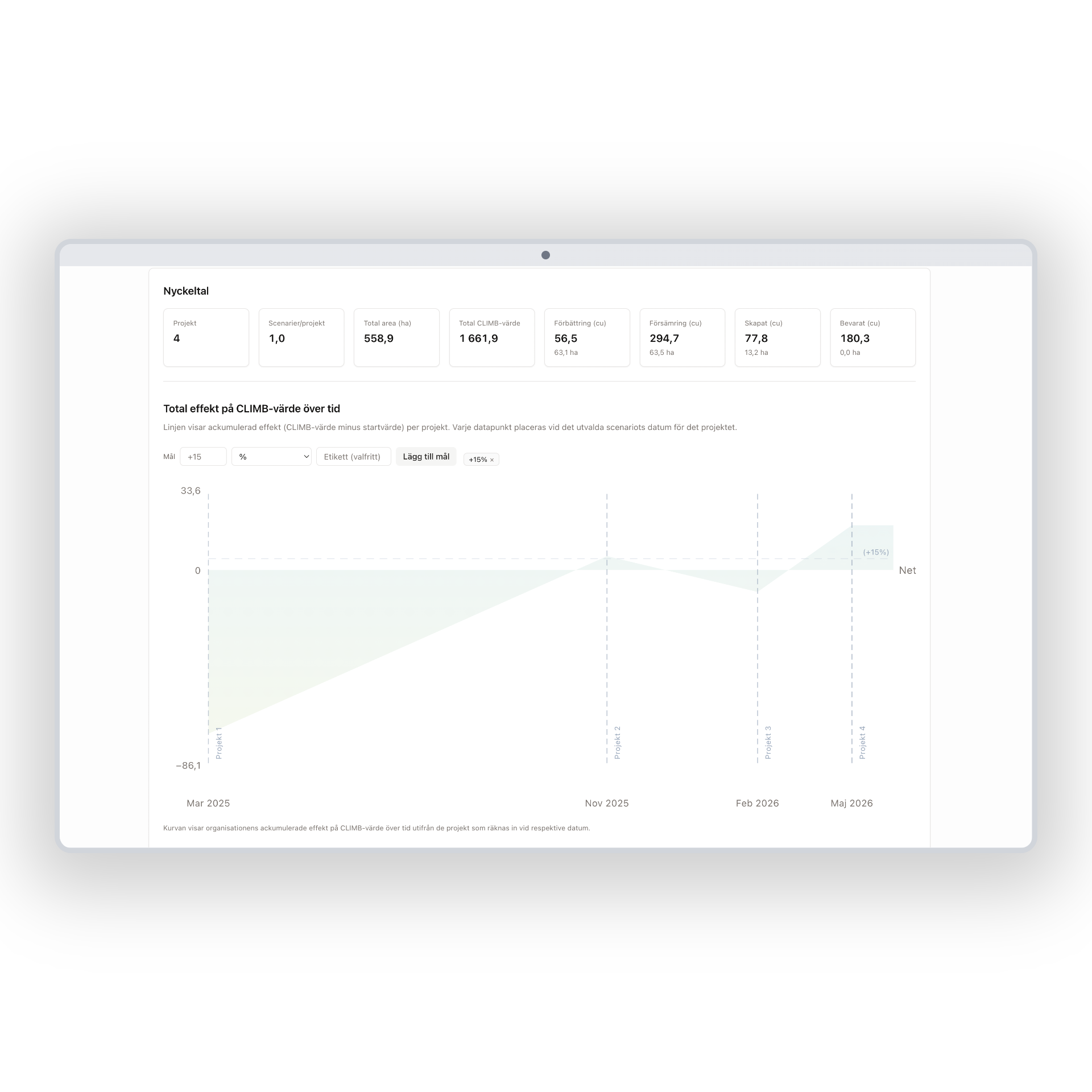
A single view of an entire portfolio of projects, with monitoring over time and aggregation of indicators at organisational level.
Learn more"It became easier to explain nature impacts in project meetings once we could show clear scenario comparisons."