Data collection
Biodiv Remote
AI-based mapping of habitat types and biotopes from satellite data and geospatial sources. Draw an area and get an instant early nature screening – without a site visit.
Remote sensing before fieldwork
AI-assisted remote sensing before going into the field
Biodiv Remote uses satellite data, map layers and existing data to provide an early estimate before a survey. It does not replace fieldwork – it eases the manual groundwork ecologists often need to do before heading into the field.
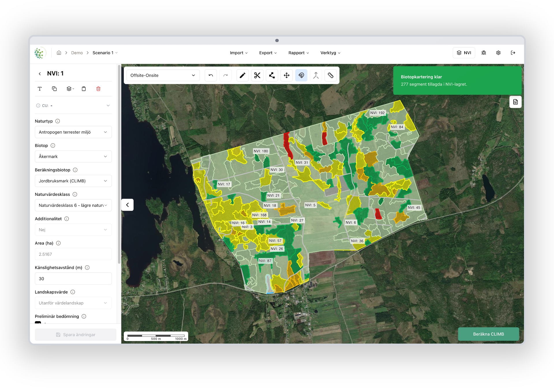
Mapping without a site visit
Identify habitat types, biotopes and areas of interest directly from satellite data and map layers.
Early nature screening
Draw an area and get an early estimate to support planning and prioritisation.
Focus where nature values are highest
Helps the team prioritise the right areas and find where a survey adds the most value.
Want to try Biodiv Remote on your site?
We'll show you how to get an early nature screening before going into the field.